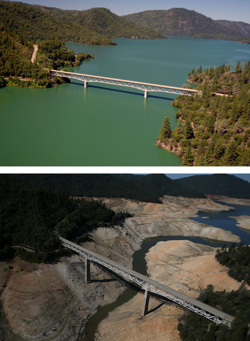
Last November, to illustrate the severity of the drought, we published these photos of Lake Oroville over a 20-month period. (The lake was “sort of a drought poster child,” wrote Lisa Pickoff-White.)
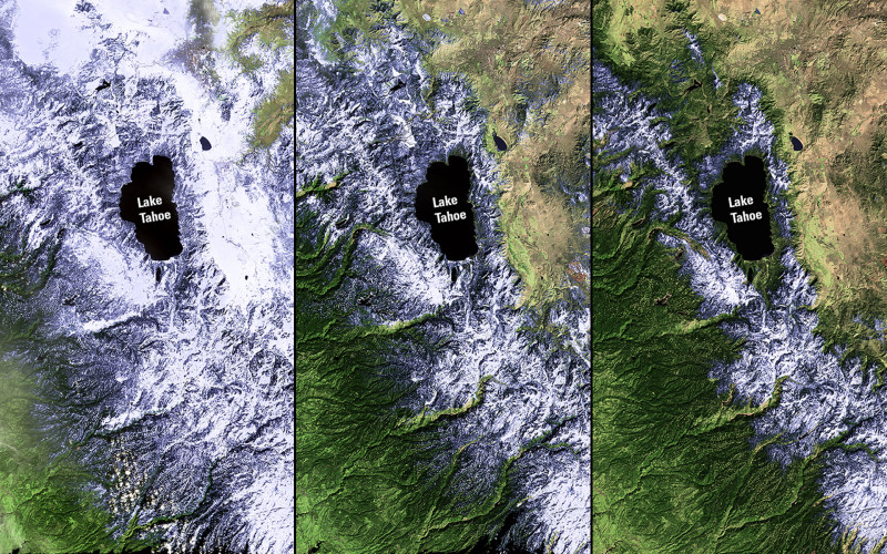
In that same vein, here are three satellite images from NASA of the Lake Tahoe region, from February 2011 to February 2014, showing the diminishing amount of snow. The images come from the agency’s site Images of Change.
Things have only worsened since then. Check out this gif of the Sierra snowpack comparing satellite images from April 2014 with March 2015.
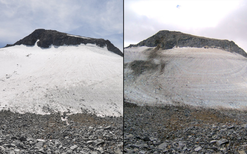
Now, courtesy of NASA again, here’s Yosemite’s shrinking Lyell Glacier:
From NASA:
The Lyell Glacier, larger of the two glaciers in Yosemite National Park and second largest in the Sierra Nevada mountains, has thinned noticeably even in just the last few years. Newly exposed bedrock is visible on the east (left) side of the 2014 image. The glacier is currently estimated to be 15 to 20 feet thick, losing about three feet of thickness each year.
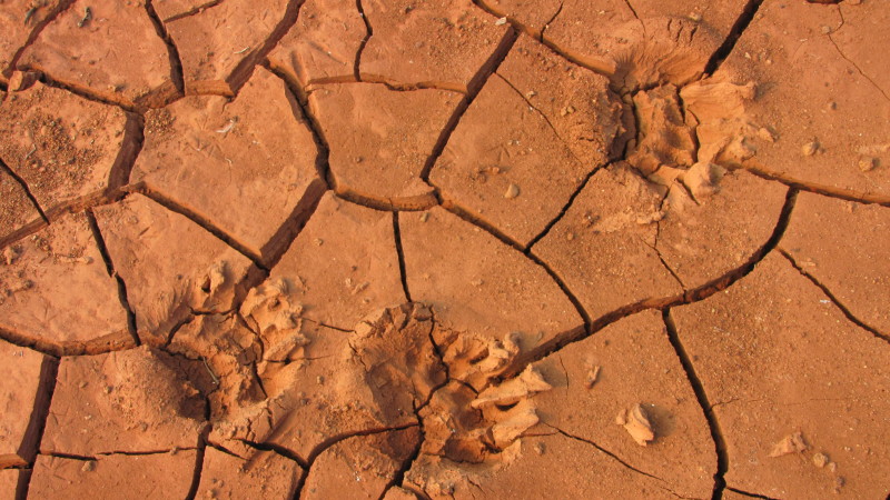
Some more stark images from our drought collection:
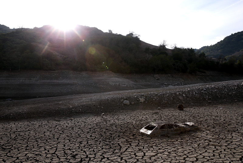
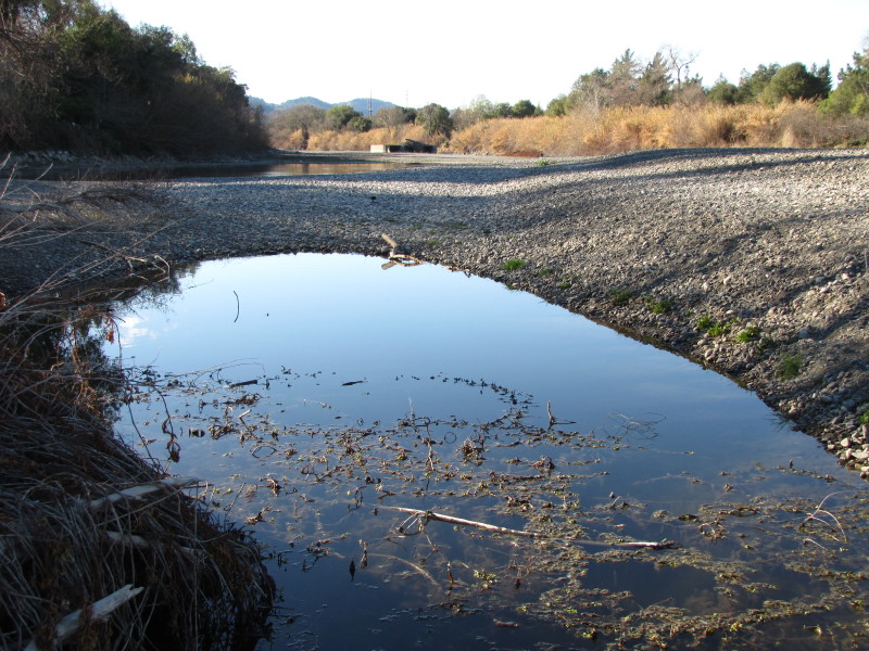
More drought photos:
